
When a massive catastrophe struck the Iberian Peninsula in 1755, coastal communities faced unprecedented destruction.
Anúncios
The historic Cadiz Earthquake forever transformed how Spanish society understood seismic hazards and environmental disaster risks.
Scholars, government officials, and citizens previously attributed natural disasters solely to divine punishment. This catastrophic seismic event triggered a crucial shift toward scientific inquiry, empirical documentation, and modern secular risk management.
Within this comprehensive historical guide, you will explore the catastrophic impact on Andalusia, the scientific transformation, societal shifts, policy evolutions, and modern geological lessons drawn from historical records.
What Was the Cadiz Earthquake of 1755?
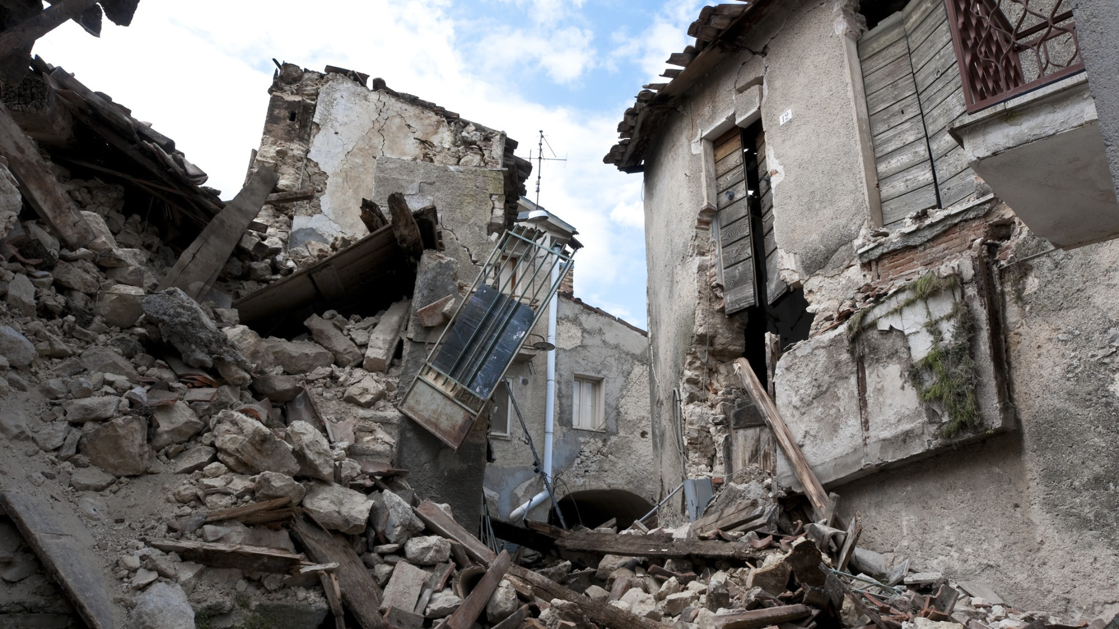
On the morning of November 1, 1755, an enormous earthquake shattered the Atlantic ocean floor near the Azores-Gibraltar fault zone, devastating southwest Europe and North Africa.
Anúncios
While historical records often emphasize Lisbon, coastal Spain suffered immense destruction when huge tsunami waves crested city walls and swept through coastal settlements within minutes.
Centuries before modern seismographs existed, the catastrophic Cadiz Earthquake generated violent shaking that lasted several minutes, causing immediate structural collapse and widespread human panic across Andalusia.
Severe damage extended across Cadiz, Huelva, and Seville, proving that maritime cities along the Atlantic shoreline required better structural resilience against unforeseen oceanic disasters.
Geologists currently estimate the magnitude reached between 8.5 and 9.0, making it one of the most powerful natural occurrences recorded in European history.
How Did the 1755 Disaster Impact Cadiz and Coastal Spain?
Coastal fortifications barely delayed the destructive force of massive tsunami waves that swept inland shortly after the primary tremors subsided throughout the region.
Water levels flooded dense urban neighborhoods, destroying crucial maritime infrastructure, trading vessels, warehouses, and historic residential quarters across the strategically important port city.
Local authorities recorded hundreds of immediate fatalities, alongside thousands of damaged buildings that rendered entire neighborhoods completely uninhabitable for local merchants and residents.
Following the initial devastation of the Cadiz Earthquake, regional trade halted dramatically while local officials struggled to organize emergency relief and clear massive urban debris.
Despite severe destruction, city walls prevented total annihilation, allowing Cadiz to organize one of the earliest structured disaster recovery responses in Spanish history.
Why Did the Event Shift Spain’s Philosophical View of Nature?
Prior to this disaster, European intellectual traditions frequently interpreted natural catastrophes through religious lenses, viewing sudden environmental destruction as divine retribution against human society.
King Ferdinand VI and his enlightened ministers demanded systematic empirical data rather than theological explanations to understand why coastal towns suffered such extreme destruction.
Prime Minister Marquis of Ensenada initiated a comprehensive national survey, instructing local governors to report precise casualty figures, structural damage, and physical ground phenomena.
Analyzing these empirical responses allowed Spanish intellectuals to realize that natural hazards operated according to physical laws rather than unpredictable divine wrath.
Consequently, Enlightenment thinkers throughout Spain began treating geological phenomena as complex natural processes requiring empirical observation, scientific analysis, and proactive civic preparation.
++ The Community That Rebuilt an Ancient City Stone by Stone
Major Scientific and Environmental Perspectives Transformed in 1755
| Historical Dimension | Pre-1755 Traditional Perception | Post-1755 Scientific Perception |
| Primary Cause of Disaster | Divine retribution and moral punishment | Physical geological movements and fault lines |
| Data Collection Method | Theological sermons and religious chronicles | Systematic government surveys and empirical field reports |
| Urban Risk Strategy | Unplanned reconstruction and prayer vigils | Reinforced architecture, seawalls, and evacuation plans |
| State Responsibility | Spiritual guidance and charitable alms | Active disaster response, infrastructure repair, and hazard mapping |
How Does the 1755 Disaster Continue to Shape Modern Iberian Urban Planning?
Long after the physical debris was cleared, the structural lessons of 1755 fundamentally reconfigured how Iberian architects and civil planners approached coastal development.
The disaster forced engineers to abandon fragile, high-density masonry traditions in favor of lower, reinforced profiles designed to absorb seismic energy and withstand sudden oceanic surges.
Today, modern urban designers in southwestern Europe still refer to these historic structural adaptations when retrofitting heritage districts, proving that centuries-old disaster responses continue to inform contemporary resilient architecture along the Atlantic coastline.
+ When an Entire Capital City Was Relocated Overnight
How Did Spanish Authorities Pioneer Modern Disaster Response?
Royal administrators quickly established standardized reporting protocols to collect reliable physical data from every affected municipality across the Iberian Peninsula.
Local magistrates gathered detailed testimonies regarding wave heights, ground fissures, water contamination, and structural failures to assess overall regional economic damage accurately.
Government officials utilized these empirical field reports to allocate financial resources, rebuild damaged infrastructure, and formulate realistic urban planning regulations for vulnerable coastal towns.
Decades after the Cadiz Earthquake, early civil protection frameworks emerged across Europe, heavily influenced by Spain’s pioneering scientific questionnaire and systematic documentation methods.
To learn more about historic seismic monitoring developments, explore the official U.S. Geological Survey Earthquake Hazards Program for global geological data and research.
What Geological Lessons Does the Event Offer Modern Science?
Contemporary seismologists analyze original eighteenth-century archival records to construct accurate computer simulations of underwater fault ruptures in the eastern Atlantic Ocean.
Evaluating historic tsunami arrival times helps modern oceanographers design sophisticated early warning systems for coastal communities along the Iberian Peninsula today.
Engineers examine ancient structural failures to develop advanced building codes that safeguard modern port facilities against strong ground motions and liquefaction
Environmental historians stress that historic disasters provide irreplaceable baseline data for contemporary hazard assessment, urban planning, and emergency management strategies.
How Can Contemporary Society Prepare for Future Seismic Events?
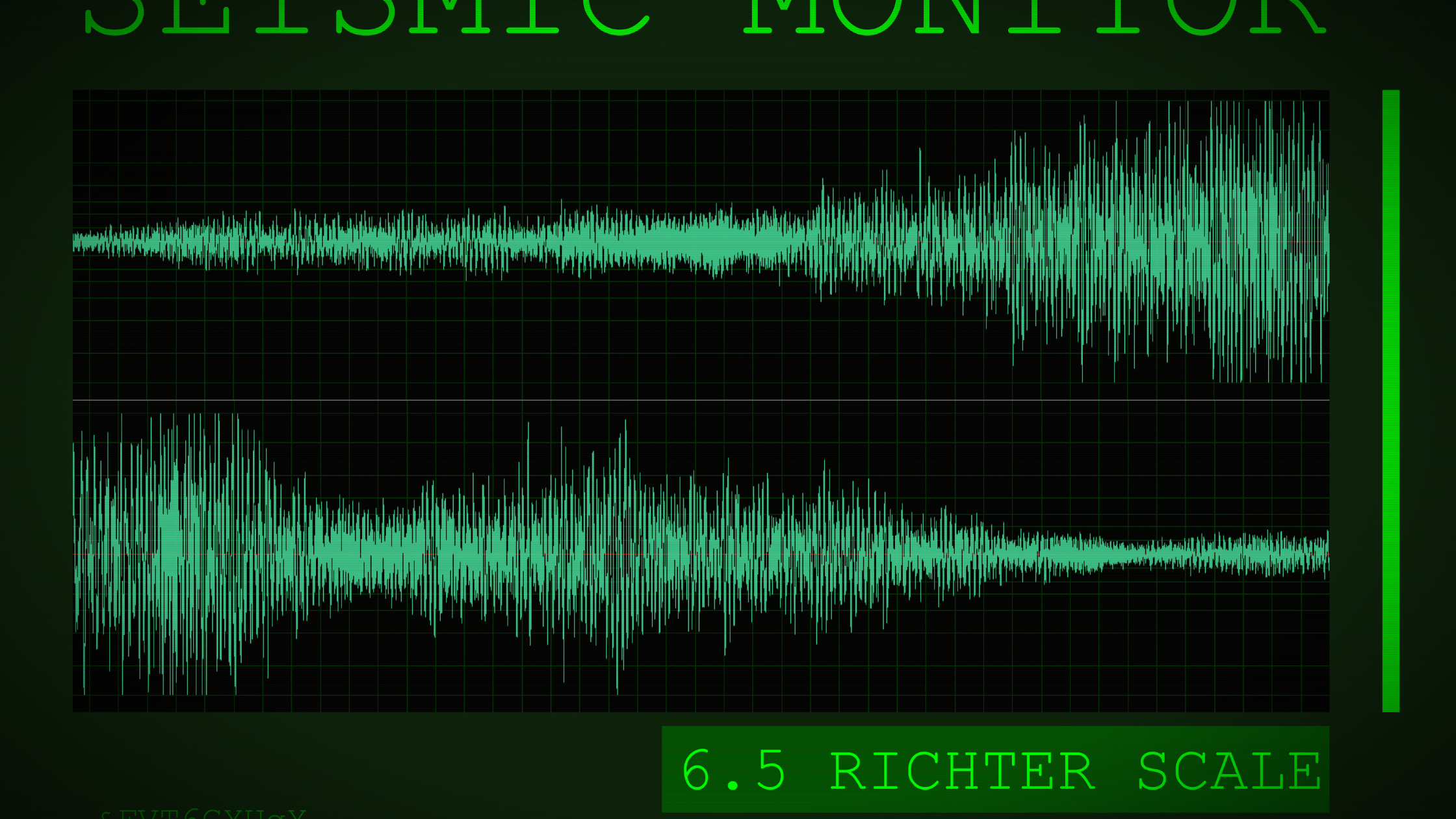
Modern coastal cities must maintain resilient physical infrastructure, robust ocean sensors, and well-rehearsed public evacuation protocols to minimize environmental disaster risks.
Urban planners prioritize strict building codes, reinforced sea defenses, and comprehensive hazard mapping to protect vulnerable populations residing along low-lying Atlantic shorelines.
Scientific literacy empowers communities to respond calmly during sudden emergency situations, reducing mass panic and improving survival rates during natural crises.
Investing in continuous scientific research guarantees that societies remain prepared for rare but high-impact geological occurrences along active tectonic fault lines.
Understanding past environmental shifts helps modern governments build sustainable, hazard-resilient cities capable of withstanding extreme natural events.
++ Why the White Ship Disaster Changed England’s Royal Succession
Conclusion
The historic catastrophe of 1755 marked a decisive turning point in how European societies understood physical hazards, transitioning from superstitious fear toward rigorous empirical investigation.
Spain’s systematic documentation of coastal flooding and structural destruction laid vital foundations for modern seismology, civil protection, and secular risk assessment frameworks.
Re-examining this historical event reminds modern nations that proactive scientific preparation remains humanity’s strongest defense against unpredictable natural forces.
For further academic research on historic Atlantic seismic history, visit the National Oceanic and Atmospheric Administration Tsunami Program for comprehensive safety data and historical archives.
Frequently Asked Questions (FAQ)
What was the estimated magnitude of the 1755 earthquake?
Modern geologists estimate the seismic magnitude was between 8.5 and 9.0, making it one of history’s most powerful Atlantic events.
How did the earthquake affect the city of Cadiz specifically?
Severe ground shaking destroyed numerous buildings, followed by massive tsunami waves that breached coastal defenses and flooded critical maritime urban zones.
Why is this event considered historically significant for science?
It inspired one of the first systematic, government-sponsored scientific investigations into natural disaster causes, accelerating Enlightenment science across Western Europe.
How far did the tsunami waves travel after the earthquake?
Tsunami waves crossed the Atlantic Ocean, causing noticeable water level fluctuations across the Caribbean and reaching as far as Great Britain.
Could a similar earthquake occur along the Iberian coast today?
Yes, the complex fault lines between the Eurasian and African tectonic plates remain active, making ongoing monitoring and preparation vital for coastal safety.